Geodesy for your success
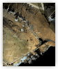
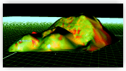
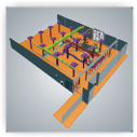
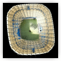
3D laser scanning
Construction services
Facility Management
Surveying and mapping
Monument preservation · Archaeology

Due to our long/term expierence we developed cover nearly every part of advanced geodetic engineering. Our area of operations comprise the following:

  • 3D laser scanning
  • Construction surveying
  • Facility Management
    for existing and new sites
  • Surveying and mapping
  • Geographical information system (GIS)
  • MPL-Evaluation
  • 2D + 3D CAD systems

Our customer service cover a wide range: from CAD and consultancy to the management of entire projects. Our goal is to be your number one in engineering questions.  

* PHIDIAS, Autocad und Microstation are registrated Trademarks

www.geomatec.de