3D laser scanning Construction services Facility Management Surveying and mapping Monument preservation · Archaeology
The technical equipment of Geomatec is comprehensive and constantly held up-to-date. This is part of our guarantee that you can rely on our expertise.
Geomatec relies on the competence of the most recent versions of Microsoft* Server- and Office-Products to ensure a high standard in compatibility with our cusotmers.
For engineering task we are working with Geosoft and HHK since our establishment. Numerous im- and export plug ins guarantee and optimum in compatibility with other systems.
For 2- and 3-dimensional visualization we specialized on the industry standards Bentley MicroStation*, Autodesk AutoCad* and PHIDIAS*.
Data exchange will be done via DVD/CD and over the Internet.
* registred trademarks
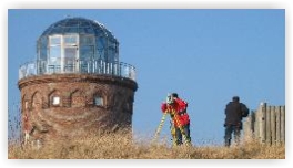
For our field-service we rely on our long-term competence with the products and systems of the following companies:
Topcon*
Leica*
Riegl*
Trimble*
Would you like to have a more detailed list of our software and systems? Please feel encouraged to contact us!